Anchor River Overlook

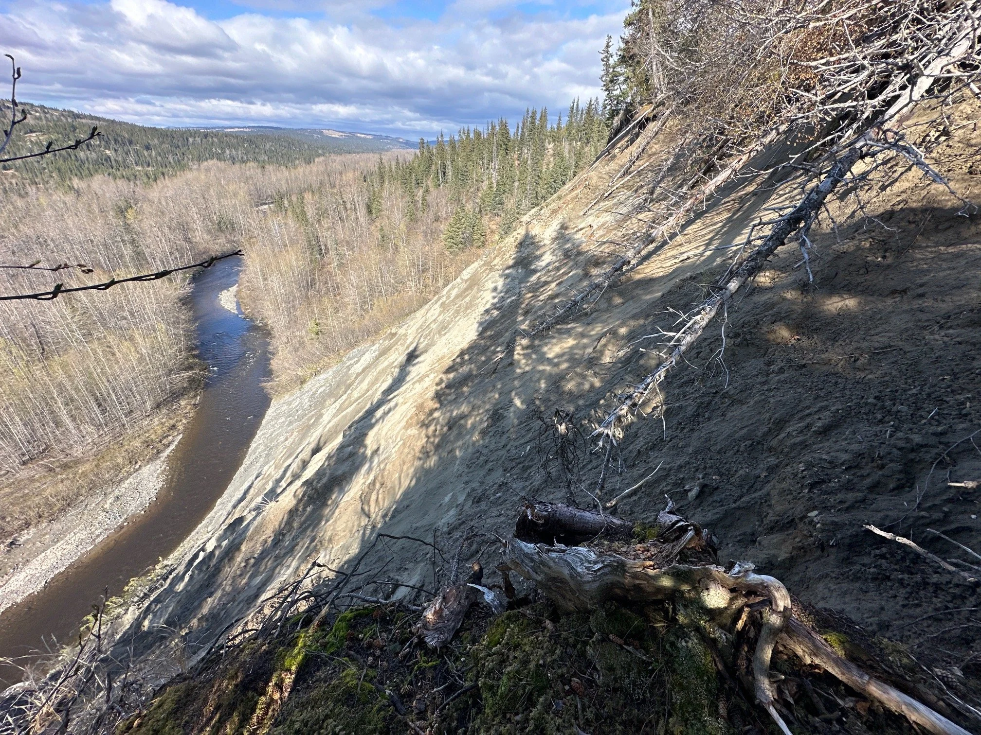
The two aerial photographs depict the bluff you are seeing from different years. The topmost image is from 2022 and shows the extensive erosion of this bluff overlooking the Anchor River, as compared to the same aerial photo taken in 2006, with much less erosion.
The erosion occurred from several large landslide events throughout 16 year period. The river channel cut into the toe of the hillside, both gradually with normal flow, and very aggressively during floods, undercutting the bluff above making it less stable. Then combined with rains and saturated soil conditions caused the hillside to release, certainly spectacularly, dropping trees and soil and sand and sediment into the river, where it was eventually carried away by the current.
Related Info and Links
Landslide hazard susceptibility mapping in Homer
Good Friday Earthquake 1964 effect on Homer