Logging History
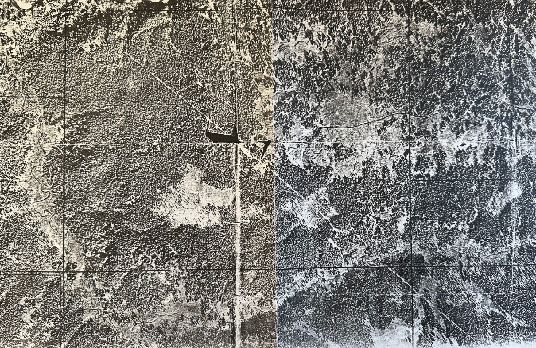
This Aerial Photo is one of the earliest ones we have, showing the property prior to any logging, but after the initial road was built and when the sand pit had been established. Most prominently, the western and southern portions were mature and well established spruce forests.
Seismic survey lines can be seen extending out what is now the runway to the southeast right over the Twitter Creek river valley and up Crossman Ridge.